news
How Sunshine Coast's Planning System Got Tangled in a Digital Image Problem Years in the Making
A closer look at how outdated aerial imagery embedded in local planning maps created compounding headaches for developers, councils and homeowners across the region.
How we reported this
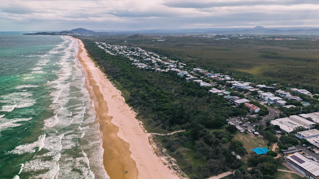
Sunshine Coast Council is working to replace hundreds of duplicate and outdated aerial images embedded across its online planning portal, a problem that traces its origins to a series of mapping database migrations carried out between 2018 and 2022. The duplications, where the same imagery tile appears in multiple overlapping layers, have caused confusion for residents submitting development applications, particularly in high-growth corridors around Maroochydore's new CBD and the Aura master-planned community at Bells Creek.
The issue matters now because the pace of construction on the Sunshine Coast has accelerated sharply. The region's population crossed 370,000 in 2024, according to the Queensland Government's population projections, and development application volumes at Sunshine Coast Council have tracked upward in step with that growth. When an applicant in, say, Bokarina pulls up the council's interactive mapping tool to check flood overlays or vegetation constraints, duplicate image layers can obscure accurate cadastral boundaries, slowing pre-lodgement assessments and, in some cases, producing conflicting information about what can legally be built on a parcel.
How the Duplication Problem Took Root
The roots run back to 2017, when the council began transitioning its geographic information systems from a legacy platform to a cloud-hosted environment aligned with Queensland's broader State Digital Twin program. Aerial photography captured for the region in 2016 was ingested into the new system while older 2013 imagery was never fully decommissioned. A subsequent refresh using 2020 drone and aircraft survey data, commissioned partly to support the Maroochydore City Centre development overseen by Sunland and subsequently SunCentral Maroochydore Pty Ltd, added a third imagery vintage without automated conflict resolution between the layers.
By the time SunCentral's project team was regularly accessing mapping data to coordinate the trunk infrastructure rollout along Duporth Avenue and the new street grid east of Dalton Drive, council GIS staff had already flagged internally that certain tiles in the Maroochydore and Mooloolaba foreshore areas were resolving to duplicate files. The problem was compounded when council's vegetation mapping layer, critical for compliance with the Sunshine Coast Planning Scheme 2014's biodiversity overlay, was updated in 2021 using a separate aerial run that had not been reconciled against the 2020 imagery set.
Property professionals working in the Noosa hinterland and northern areas around Peregian Beach raised similar concerns through the Urban Development Institute of Australia's Queensland chapter, noting that imagery mismatches were generating contradictory outputs in pre-lodgement assessment tools. For small developers or owner-builders trying to understand whether a block at, for instance, Doonan or Eumundi carried a waterway buffer, navigating conflicting tiles added time and, in some cases, professional fees to clarify what the current planning instrument actually intended.
What the Fix Looks Like, and What Comes Next
The council's GIS team has been working through a systematic audit of the spatial data library since early 2025, prioritising zones with the highest development application activity. The Maroochydore Priority Development Area, which covers roughly 53 hectares of former TAFE and council land near Ocean Street, was cleared first given the volume of active construction approvals. Work then shifted to the coastal strip between Mooloolaba and Caloundra, where short-term rental regulation changes introduced under the Queensland Government's short-term accommodation framework have driven a surge in property ownership inquiries and related planning searches.
Residents or applicants who have lodged development applications in the past 18 months and received mapping outputs they believe may have been affected by imagery duplication can request a formal data verification check through the council's development services counter at the Maroochydore Civic Centre on Aerodrome Road. The council has also indicated that its refreshed aerial survey, scheduled to use imagery captured in the autumn 2026 flying season, will be ingested into a single authoritative layer with automated version control, removing the conditions that allowed the duplication to accumulate in the first place. For anyone with applications currently under assessment, the practical advice from planning professionals familiar with the portal is straightforward: cross-check any overlay outputs against the Queensland Globe platform, which draws on state-held imagery that has been maintained independently of council's local dataset.